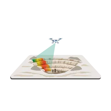
Advanced Photogrammetry


Industry
Services


Garuda Enterprise Services List
Documentation for the cases studies, drone & industrial implementation It Will be helpful for the overall summary.
What types of drones are best suited for environmental monitoring?
Drones equipped with multispectral or thermal imaging cameras are particularly effective for environmental monitoring. They can capture data on vegetation health, soil conditions, and wildlife activity.
How do Garuda's drones enhance water quality monitoring compared to traditional methods?
Garuda advanced UAVs with specialized sensors can track water quality parameters in large water bodies with high efficiency. In contrast to traditional sampling with physical access to multiple locations, our drones offer large-scale coverage and accessibility to difficult to access areas, and provide accurate measurements for pollution level, algae bloom, and source of contamination.
What makes Garuda's drone technology superior for collecting environmental data?
Drones can collect high-resolution images and data collection that help create detailed maps of soil composition and moisture levels. This information is crucial for effective land management and conservation practices.
How does Garuda enable real-time environmental monitoring?
How quickly can Garuda's drones respond to environmental emergencies?
Garuda's Drones can quickly deploy into the disaster zone for accessing damage to ecosystems, wildlife habitats, and natural resources and provide vital information to emergency responders.
What specific environmental data can Garuda's drones gather?
Our drones collect extensive environmental data like vegetation health, soil moisture, temperature variation, and habitat mapping for various monitoring applications.
What advantages do Garuda's drones provide for environmental monitoring?
Our drones provide cost-effective, safe, and efficient monitoring solutions that eliminate the need for personnel to access dangerous or remote locations while delivering accurate environmental intelligence.
How does Garuda collaborate with enterprises interested in drone solutions?
Garuda partners with enterprises by providing tailored drone solutions that meet specific needs in agriculture, conservation, and other sectors while ensuring a smooth integration into existing workflows.
What training is available for individuals looking to operate drones for environmental purposes?


