Garuda Aerospace | Blogs
Construction & Infrastructure
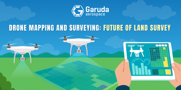
The landscape of land survey has been dramatically transformed with the advent ofdrone mapping and surveying technology. Unmanned aerial vehicles (UAVs) have revolutionized how professionals collect, process, and analyze geographical data, offering unprecedented efficiency and accuracy compared to traditional methods. This comprehensive exploration delves into how drones are reshaping the future of mapping and surveying across various industries and applications.
What are the benefits of using drones for mapping and surveying compared to traditional methods?
Paradigm Shift: The integration of drone technology has revolutionized land survey methodologies, marking a significant departure from traditional approaches.
Traditional Challenges: Traditional methods rely on labor-intensive, time-consuming processes involving ground-based measurements with total stations, GPS equipment, and manual data collection.
Efficiency: Drone survey systems allow for the rapid capture of comprehensive aerial data over large areas, drastically reducing the time needed for data collection.
Evolution in Approach: This evolution transforms how surveyors conduct topographic surveys, land use analysis, and land cover mapping, minimizing the need for extensive fieldwork and multiple site visits.
Unique Perspectives: Drones provide a bird's-eye view previously achievable only through manned aircraft operations or satellite imagery, which often offer limited resolution.
Agility and Flexibility: UAVs can be swiftly deployed on demand, granting surveyors increased agility and the ability to respond quickly to changing needs.
Versatile in Challenging Areas: They can effectively map complex urban environments or remote areas that are difficult to access.
Unmatched Solutions: When compared to traditional methods, drone aerial survey techniques excel in efficiency, comprehensive data collection, and adaptability.
How do survey drones increase efficiency and reduce costs?
Survey drones offer significant efficiency and cost savings for surveying projects. Tasks that take weeks with traditional methods can be completed in days or hours using drones. For example, surveying 100 acres may take surveyors days, while a drone does it much faster. This reduces labor hours and cuts project costs by 60-80%.
The savings are even greater in difficult terrains requiring extra safety and equipment for traditional surveys. Drones also streamline workflows, from data collection to deliverables, with software automating map and model creation that previously required manual work. These efficiencies let firms handle more projects with existing resources, reshaping business models and enhancing competitiveness.
What accuracy levels can be achieved with drone mapping versus traditional land survey?
Drone mapping accuracy can rival or exceed traditional methods with RTK or PPK technology, achieving 1-3 cm horizontal and 3-5 cm vertical precision. This suffices for most needs, from site planning to engineering projects. Key factors include drone type, sensor, flight altitude, overlap, and ground control points.
Surveyors use checkpoints, measured by traditional methods, to validate data accuracy independently. Studies show that well-executed drone surveys often meet or exceed industry accuracy standards. This precision, coupled with comprehensive data, makes drones a preferred choice for various surveying tasks.
What are the safety advantages of drone surveying in challenging terrain?
Using drones for surveying greatly enhances safety in hazardous environments. Unlike traditional methods requiring physical access to risky areas like steep slopes, unstable grounds, or contaminated, drones collect data remotely, reducing accidents and liability. They can also survey active construction sites, quarries, and post-disaster landscapes without risk, and access hard-to-reach places like wetlands or industrial facilities, making it an ethical and practical choice for modern surveying.
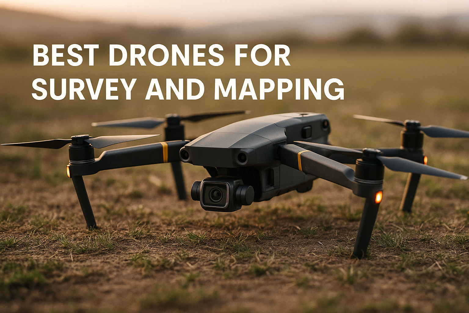
Which are the best drones for survey and mapping projects?
Choosing the rightdrone for mapping and surveying involves considering factors like payload, flight time, sensor quality, software compatibility, and specific needs. Options range from modified consumer drones to specialized commercial systems. Key differences include precision, durability, and data quality. Professional drones offer stable flight, extended operation, and can carry advanced sensors. They feature programmable paths, safety redundancies, and RTK/PPK system capabilities. Investing in higher-grade drones results in better data, reliability in tough environments, and improved efficiency from start to finish.
What payload specifications should you look for in mapping drones?
A mapping drone's payload determines the data quality and types it can collect. Key for survey applications is the camera system; high-resolution, large sensor cameras (full-frame or APS-C) offer better images in poor lighting. Cameras with at least 20-megapixel sensors are ideal for detailed land surveys. Fixed lenses generally outperform zoom lenses for mapping.
Beyond RGB cameras, specialized payloads like LiDAR map terrain through vegetation, while multispectral cameras capture data beyond visible light, aiding agriculture and environmental surveys. Surveyors should consider both current and future needs, focusing on sensor resolution, pixel size, global shutter (to avoid distortion), and integration with positioning systems for accuracy. The payload mount should ensure stability and vibration dampening for clear images.
How does drone photogrammetry work for creating accurate survey maps?
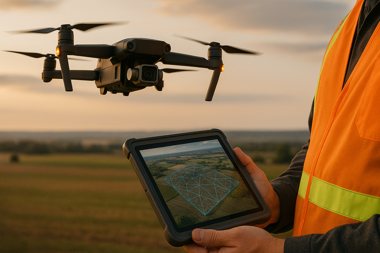
Drone photogrammetry transforms aerial images into precise 2D and 3D maps by using algorithms to process overlapping images. Typically, 70-80% front and 60-70% side overlap ensure points are captured from multiple angles. Photogrammetric software employs feature matching to identify points across images, determining the camera and surface positions using Structure from Motion (SfM). This creates a 3D reconstruction, initially with relative positions, which becomes absolute through georeferencing.
Georeferencing utilizes the drone's GPS, ground control points, or RTK/PPK systems. The photogrammetric model supports mapping products like orthomosaic maps, digital elevation models, and 3D point clouds.
What is the process of generating orthomosaic maps from drone data?
An orthomosaic map is a key outcome of drone surveys, offering a high-resolution aerial view. It begins with capturing overlapping images during planned flights. Photogrammetry software processes these images by aligning them using common points to determine camera positions, forming a sparse point cloud of the area. This is refined into a dense point cloud for detailed 3D modeling. A digital surface model (DSM) is created, showing elevations of features like terrain, vegetation, and structures. Finally, orthorectification corrects perspective distortions, ensuring geometric accuracy. The orthomosaic map combines photographic detail with map precision, useful for surveying, urban planning, construction, and more.
How are 3D models and point clouds created from aerial survey images?
Creating 3D models and point clouds from drone data is a key aspect of modern photogrammetry. Using aerial images, the process derives depth information for detailed 3D representations. Initially, images are aligned to determine camera positions. Photogrammetry software then performs dense reconstruction, using stereo matching to calculate 3D coordinates for millions of points, forming a dense point cloud.
Each point has spatial coordinates (X, Y, Z) and color data (RGB), creating a colored visual of the area. From here, a Triangulated Irregular Network (TIN) is created by connecting points into a mesh, producing a 3D model of the terrain and structures. Texture mapping is applied by projecting original images onto the mesh for photalism. These models allow for in-depth analyses like volumetric calculations and line-of-sight studies, surpassing traditional 2D maps. This innovation has revolutionized the analysis of both natural and built environments.
What role do Ground Control Points (GCPs) play in photogrammetric accuracy?
Ground Control Points (GCPs) connect drone images to real-world coordinates, enhancing photogrammetric survey accuracy. These points have known coordinates, marked visibly in aerial images, and are established using precise GPS/GNSS methods like RTK. During processing, GCPs are identified to adjust the model to these positions. Proper GCP placement is crucial, impacting survey quality.
They should be distributed, including perimeters and various elevations, to prevent distortions in models. Despite advanced RTK/PPK systems reducing GCP needs, professional surveyors use them for quality checks. Checkpoints, known but unprocessed coordinates, validate model precision. GCPs assure accuracy for engineering and legal surveys.
Conclusion:
The integration ofGaruda Aerospace drones into agricultural mapping and surveying represents not just a technological advancement but a revolution in efficiency and precision. By harnessing this technology, farmers and agricultural companies can optimize their operations, improve sustainability, and ultimately enhance yield and productivity.